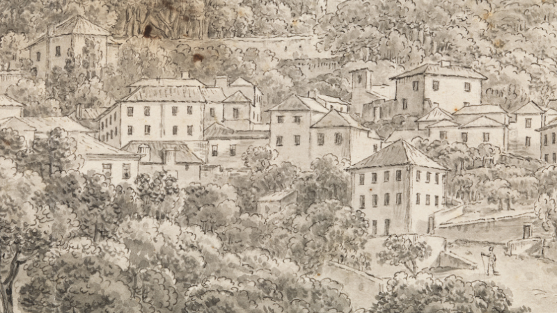
City plans, views of urban sections, topographical maps, profiles of coastal zones next to towns: the intentions and ways of representing cities and residential zones are diverse. Described with varying degrees of precision, they allow us to identify the main buildings and the natural relief, providing graphic testimonies of a certain place at a certain time, historically objective and subject to the alterations inherent in human activity.
Although they emerged in European art in the late Middle Ages, the practice of faithfully representing sections of cities and built-up areas became more widespread from the 17th century, and in Portugal a century later. At a time when travel began to become more frequent among certain social groups, it was primarily foreign draughtsmen, and only later those from Portugal, who started producing this type of graphic record, giving us an insight, from rare viewpoints, as to the appearance of certain locations in Portugal at the time.
CURATOR
Alexandra Gomes Markl
Exhibition booklet

CURATOR
Alexandra Gomes Markl
Exhibition booklet